Meet the person behind Eckert’s Drone Specialties
Welcome to
Eckert’s Drone Specialties
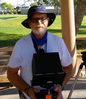
CURT ECKERT
Owner and Operator

 I have an extensive aviation background in general aviation as a Commercial Pilot with the following ratings: SEL MEL SES IA and Commercial Glider.
I was a Freshman in college with no freshmen deferment for the draft. I was going to be drafted (conscripted) into the US Army but was able to enlist in the Air Force instead. In the Air Force, I was an Air Traffic Control Radar Repairman. I am a Vietnam Era veteran and was Honorably discharged as a Sergeant E3.
In college, I earned a BS degree in Aeronautical Studies with a concentration in Flight Technology from Embry-Riddle Aeronautical University. I also earned an AS degree from ERAU in Professional Aeronautics with a major in-ground electronics operation and maintenance. I was commissioned in the United States Marine Corps as a 2nd Lieutenant and I was accepted into the Student Naval Flight Officer (NFO) school. In the Marine Corps, I was a Radar Intercept Officer (RIO) in Marine F4 Phantoms. I received an Honorable Discharge from the Marine Corps as a Captain (O3E). I am a Cold War veteran.
 I joined the Marine Corps Reserves and flew for a few more years in the reserves. I was Honorably Discharged from the Marine Corps Reserves as a Major (O4). I am a Gulf War Era veteran.
So I supported the USN & USMC F/A-18 Hornet Models A/B/C/D at NAWS China Lake for 32 years until I retired from Federal Service in 2017.

I needed to go back to work and it sort of fell in my lap the idea of flying drones. Best decision I have ever made. I have now gone through seven drone courses at Dronitek Drone Flight Academy and have my FAA Part 107 certificate on hand and other industrial certificates. Quite frankly I feel I am home again and truly love flying Commercial Drones. I enjoy the challenge of complying with the FAA rules and regulations needed to successfully navigate through the National Airspace System. I also have learned all the changes to VFR Sectional Charts and publications and changes to Aviation Weather. My goal is to become a Professional Remote Pilot and safely and legally fly in both uncontrolled and controlled airspace. I truly look forward to meeting you and supporting your requirements.

Certificates
sUAS Remote Pilot FAR Part 107 Certification Course. Part 107 Certification Course.
Areas of Expertise
I love making maps, especially orthomosaic maps!
I have the new PIX4D React software that is streamlined to work very efficiently on a moderately capable laptop in the field. React can only make 2D Orthomosaic maps but these maps are accurate and especially useful. I am testing the mapping capability of the EVO II 8K that has a 8000 by 6000 resolution (8K) with 4:3 ratio and a 4000 by 3000 resolution capability (4K) with a ratio 4:3. I am also testing my EVO II Pro 6K drone with its 6K and 4K capability and try to determine which one is best? One would think the EVO II Pro’s one-inch sensor would be king, but the 50 MPs and 8000 by 6000 resolution that is on the 8K may be hard to beat. I hope to be able to start making 3D orthomosaic maps and models and to start taking volumetrics that a 3D model can provide.
To get the highest precision and accuracy I should use Ground Control Points or GCPs. Propeller Aeropoints is an excellent program to collect GCPs. I hope to have Propeller Aeropoints in my inventory list by 2021.
I also like Precision Agriculture, but I will need to purchase another drone that can support a multi spectral camera unless I can get a MAPIR Survey3 mono RED/NIR camera to fit under the EVO II belly. I am working with another drone pilot who may be able to make me a special lug that will allow a GoPro style mount to attach to the lug. The hope and goal are to be able to make a NIR map and a RGB map and combine the two. I will have to see if this can be done. Nothing ventured nothing gained.
Please see my section on Certificates that show all the training I have received to date.
I have made one Videography video of a commercial building. While I was not successful to obtain air space authorization to film the outside, I was able to film the inside and they were happy with my video.
Please see my section on Certificates that show all the training I have received to date.
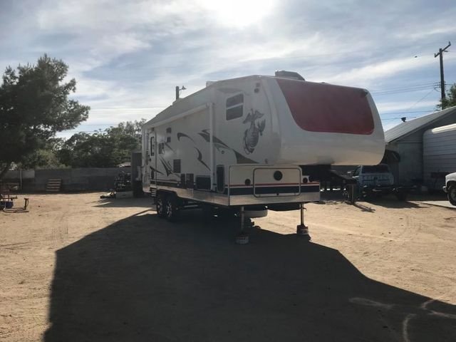
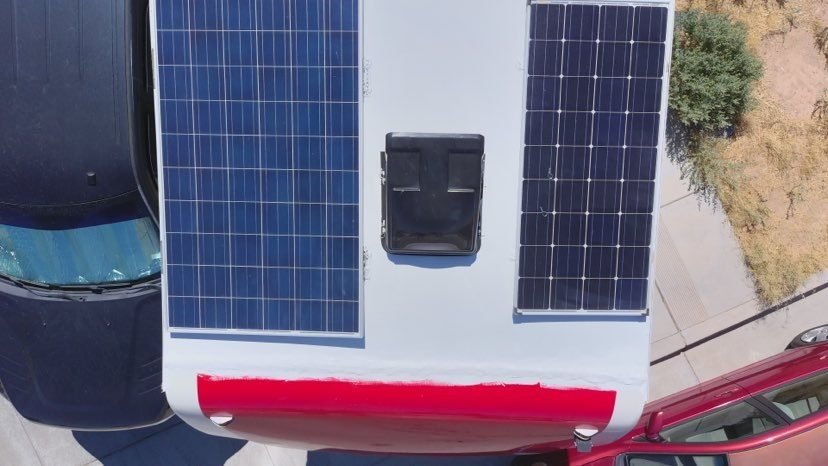
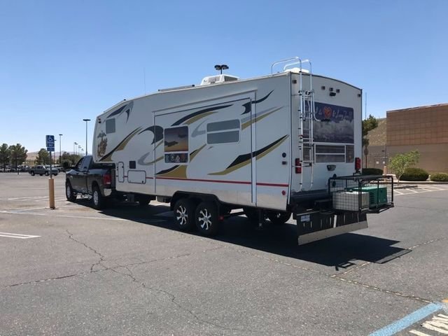
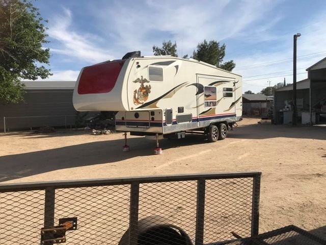
If possible, I would like to work with First Responders in Kern County, Inyo County and Mono County and inquire if they have a Drone Program and if they do, do they use PIX4D React. If they do, I still would like to be a backup for your teams and if possible be a volunteer. I can respond quickly and be able to come to your area and bring my fifth wheel which would give me a place to stay for an extended time off the grid. Also, if you have not seen the new Autel EVO II Pro drone I would be glad to demonstrate it to you. But if you do not have a drone program and/or you do not know about PIX4D React then I would like to come to your facility and discuss what drones can do and especially what PIX4D and React can do for you.
With airspace and weather permitting, I would like to conduct a simulated event in which I will launch my drone and map a simulated area you would be interested in. I then will land and download the files and with my laptop create a very accurate 2D Orthomosaic map in a very reasonable time. I would first ask though can you put a 100-foot tape laid out in a level place that I can see from the air, or anything that you know the length of would be ok too. It would also be interesting if you put items(s) in the field that would simulate looking for something.
You can easily place markers on the Orthomosaic map and take both linear and area measurements that are vey accurate. Once you have reviewed the map and have made your comments, I then can make a PDF file and we can email it to your team.
I have two Autel EVO II Drones, one is the 8K and the other is the Pro which has the 6K camera. I hope to be able to procure the Boson Dual 640/512 & 8K RGB camera, that can take a picture in picture, by 2022. The Boson IR Camera is not Radiometric, but the clarity and range are excellent.
Please see my section on Certificates that show all the training I have received to date.
I have done one inspection in which a client needed his upper two-story gutters checked for damage and to take pictures of what I saw. I have also done one IR inspection of solar panels on a roof in which I was able to find a panel that was possibly not working and needed further testing.
Please see my section on Certificates that show all the training I have received to date.
Attention to all First Responders.
If you are in need of immediate support to get 2D Orthomosaic maps that are very accurate and can be done in the field real time I would be more than willing to help you. I can be on the road in hours. However, you must know that I first must verify the airspace is either uncontrolled, i.e. Class G, or is under a LAANC that is green, and I can hopefully obtain a quick airspace authorization. If the commander can help all the better. I have two Autel EVO II Drones, one is the 8K and the other is the Pro. The Pro does great in low lighting conditions. I can fly during Twilight and hope to have a daytime waiver soon.
If anyone else has an urgent need, or perhaps you have structures or land that you need to have inspected that are way off grid I can help you too. As my motto states: “Have Drone Can Travel” is no misprint. I can be on the road usually overnight and even faster if it warrants it. We still must follow all FAA Part 107 rules. I promise to do everything I can to help within the law. Please see my Disclaimer.
Service-Disabled Veteran-Owned Small Business (SDVOSB)
LICENSES
FAA Remote Pilot License # 4394244
Commercial Pilot License # 2199681
FAA Drone Registration # FA33N4KWX4
Naval Flight Officer (NFO) Wings May 1978
Insured by SkyWatch.AI
Policy Number: 600003529-04
Policy Holder: Curt Eckert
Liability Limit: $1,000,000.

